Angkor Collapse Khmer Empire: Drought, War, Or Trade?
“Angkor Collapse Khmer Empire” is a shortcut for a long, uneven decline. The Khmer capital did not vanish in a single night. It adapted, fractured, and shifted south. To follow that story, it helps to compare other water-managed cities, like the Maya water management, and to keep our guard up about climate claims, as shown in sober climate and erosion debates. Here we trace the evidence. We weigh drought, warfare, and trade. We ask not “which cause won,” but “how they stacked.”
Historical Context
From Sacred Capital to Low-Density Megacity
At its peak, Angkor was a low-density urban system. Rice fields interlaced with temples, neighborhoods, and canals. Barays stored monsoon water. Channels fed paddies, ponds, and moats. Kings used water to grow rice, move stone, and signal cosmic order. The phrase Angkor Collapse Khmer Empire tempts us to imagine a cliff. The record looks more like a slope.
From the late 12th century, inscription counts thin. Stone projects slow. Religious life shifts, with Theravada Buddhism spreading alongside older cults. None of this is a “switch off.” It is a reconfiguration. Networks still carried rice and people, yet maintenance lagged. Silt crept into channels. Embankments failed in places. A vast system became harder to tune.
Neighbors, Roads, and Maritime Lures
Regional power also moved. Tai-speaking polities matured to the west and north. Ayutthaya expanded. Control of routes, manpower, and ports turned fluid. Some trade moved seaward, where river mouths and coastal entrepôts promised faster returns. Think of how trade networks and shifting routes alter fortunes far away from caravans. Elites in the floodplain now weighed river customs against maritime tolls. The state’s “center of gravity” began to tilt toward the lower Mekong corridor.
Yet empires can bend without breaking. Byzantium did for a millennium. Institutional agility is the secret. For a comparative frame, see how Byzantine resilience bought time during shocks. Angkor’s bureaucracy, temples, and villages likewise adapted—just not fast enough everywhere.
Key Facts and Eyewitness Sources
Droughts, Megamonsoons, and Failing Maintenance
Tree-ring reconstructions from Southeast Asia show a decades-long dry spell in the 1300s, followed by another in the early 1400s, punctuated by violent monsoons. Those swings strain earthworks. Prolonged drought lowers flows; sudden deluges scour banks. The finding that climate pressed hard on infrastructure comes from a landmark analysis of Vietnamese tropical conifers that reconstructed regional hydroclimate back to 1250 CE (PNAS tree-ring study on Angkor droughts). The data align with sand deposits and erosion traces mapped around Angkor’s canals.
Water management is not only about pipes and dikes. It is about labor calendars, taxes, and ritual. When repairs lag, small breaks become big failures. Analogies help. See how coupled systems amplify risk in volcano–climate interactions, or how dry weather, timber economies, and wind fed the drought-fueled disasters of 1871. Scale and timing matter as much as raw force.
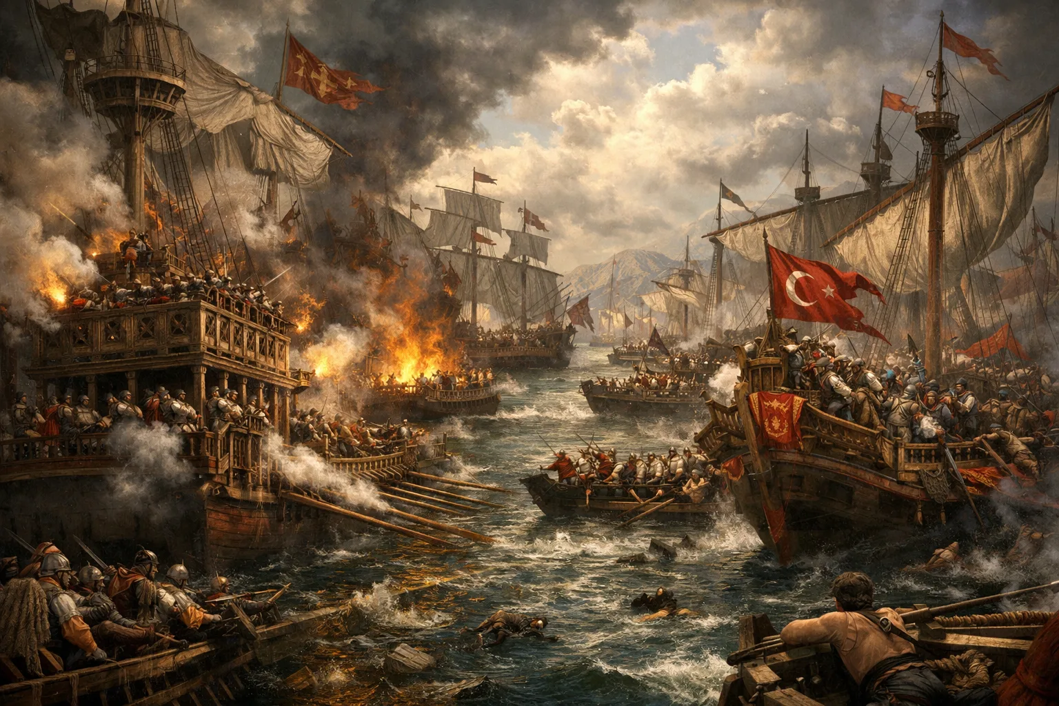
War, Chronicles, and the Southward Shift
Texts describe an Ayutthayan intervention at Angkor in the 1430s. The event echoes in Cambodian chronicles and outside sources. Warfare stressed supply lines and tribute networks. It likely accelerated a southward political move toward the Tonlé Sap–Mekong confluence. The city did not empty all at once. Temples show continued ritual use. Excavations inside Angkor Wat’s enclosure indicate occupation changes that pre- and post-date the classic “fall.” A 2019 geoarchaeological study synthesized sediment cores and urban signatures to argue for a gradual, staggered exit rather than a single catastrophe (PNAS evidence for gradual decline).
Eyewitnesses are few, but inscriptions, Chinese records, and Thai narratives sketch the outline. They point to politics, logistics, and revenue. Water enabled growth. Once stressed, it exposed fragility. That is the rhythm behind the Angkor Collapse Khmer Empire debate.
Analysis / Implications
Not One Cause—A Stack
Monsoon volatility loaded the system. War shook it. Trade shifts pulled it. None alone explains the outcome. Together they raised maintenance costs and lowered returns at the core. A low-density city thrives when ditches, field bunds, and roads work in sync. As silt rose and embankments failed, the cost to keep the machine tuned increased. Elites looked south to river ports where customs duties met sea lanes. That is why Angkor Collapse Khmer Empire reads like a staggered rebalancing, not a cinematic ending.
Ideology matters too. Theravada liturgy and monastic patterns reshaped patronage. Stone inscriptions gave way to perishable records. The archive thins. That looks like silence, yet often signals different writing habits. Fewer temples in sandstone do not equal fewer people in the landscape.
Infrastructure as Culture
Scholars now call Angkor a “hydraulic city.” The term can mislead. These were not faceless canals. They were social contracts. Barays demanded labor and oversight. Neighborhood ponds doubled as ritual spaces. When floods returned with force, breaches sliced through fields and causeways. Maintenance failed in patches, then across districts. The lesson is modern: complex infrastructure is a culture of care. When personnel, budgets, or belief drift, hardware follows. This is the deeper implication of the Angkor Collapse Khmer Empire puzzle.

Case Studies and Key Examples
1) The Barays: Storage, Signal, and Silt
The East and West Barays were massive reservoirs. They did storage, irrigation management, and political theater. Silt tells a story. Inflow channels show phases of dredging and neglect. Outflows record scouring during extreme monsoons. When monsoon belts wobbled, slack water turned stagnant. Later, bursts tore embankments. Each repair demanded coordinated labor. Fewer inscriptions hint at changing priorities. The physical record shows a feedback loop: less maintenance invited damage; damage raised the cost to restart maintenance.
2) Tree-Ring Clock: Dry 1330s–1360s, Dry 1400s–1420s
The tree-ring chronology points to two drought pulses. The first ran roughly from the 1330s into the 1360s. The second hit in the early 1400s. Between them, some years swung to heavy monsoon, priming erosion. Farmers faced erratic planting windows. Canal managers rationed flows. Villagers dug local ponds to hedge risk. State planners worried about rice shortfalls and corvée fatigue. In the aggregate, those local improvisations could not fully offset city-scale fragility. The Angkor Collapse Khmer Empire narrative thus inherits a climate beat, but not a climate monocause.
3) War Costs: Garrisons, Grain, and Leverage
Armies move on food, roads, and boats. Regional conflict around the 15th century forced Angkor to feed garrisons and repair damage while revenue slackened. Tribute from border zones grew uncertain. Rice exports shrank. Fortifications needed men. A state that once synchronized planting, ritual, and tax collection now chased repairs during labor bottlenecks. The opportunity cost of staying in the floodplain rose. River ports near today’s Phnom Penh promised customs, patrols, and sea access. The logic recalls how sudden shocks rearranged urban maps after the Great Chicago Fire’s urban lessons and the Lisbon earthquake’s risks.
4) The Maritime Pivot: Tax Where Ships Dock
As Indian Ocean trade scaled, river mouths became tollgates. Barges met sea boats. Customs houses multiplied. Ceramics, metals, and cloth moved in bulk. Angkor’s inland location, once a rice empire’s advantage, now faced new arithmetic. Revenue per official rose on the estuary. Costs per repaired kilometer rose in the interior. Maritime pivots can be decisive. The broader pattern is familiar in global history and laid out in studies of overland versus sea routes.
5) Lidar and the “Invisible City”
Airborne laser mapping stripped away vegetation and exposed grids, embankments, and occupation mounds. The scans confirmed a vast urban footprint—temples embedded in neighborhoods and fields across hundreds of square kilometers. They also highlighted where channels incised and where sand blanketed canal beds. The picture is a mature network under stress. It is not a vanished city so much as a reconfigured one. People stayed in and around Angkor. Power shifted south. Religious landscapes changed slower than revenue streams.
6) Tempo and Afterlife
Radiocarbon and artifact sequences inside temple enclosures show occupation gaps that do not match a single “fall” date. Some spaces emptied earlier; others persisted. Ritual use outlasted royal pomp. This staggered tempo supports a gradualist model. It also explains why legends fix on dramatic invasions while archaeology sees a slower fade. The Angkor Collapse Khmer Empire debate is, at heart, a tempo debate: cliff or slope? Evidence favors a slope with sharp steps.
Conclusion
So, drought, war, or trade? All three—stacked. Climate swings strained a giant hydraulic machine. Warfare shook networks and raised costs. Trade pulled revenue to river ports. Institutions adapted, yet not evenly. The result was a southward political shift and a long afterlife for the sacred landscape. The lesson travels well: cities are systems. Their fate turns on maintenance, flexibility, and the ability to tax where value now flows.
If this topic resonates, compare urban hydraulics in lake-born capitals through Aztec urban hydraulics, or revisit the first irrigation states in early irrigation states. Past systems teach present choices.