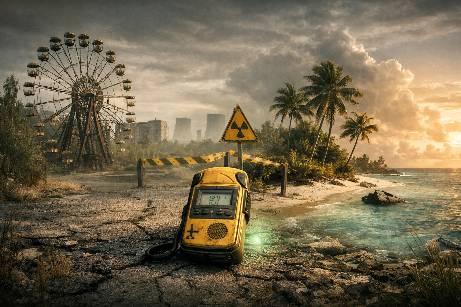
World Most Radioactive Places: Why People Still Live There
World Most Radioactive Places often sound uninhabitable, yet people return, rebuild, and adapt. Some settle by choice, others by necessity. Risk is weighed against roots, work, and dignity. To frame this paradox, compare postwar recovery with exclusion zones, as in why Hiroshima became livable while Chernobyl did not. Also review evidence from the 2011 disaster in Fukushima Daiichi meltdown: myths and facts. This article explains how radiation risk works, why thresholds differ, and what pushes communities to stay even when maps glow red.
Historical Context
From Bomb Tests and Accidents to Today’s Maps
When we picture the world’s “hot zones,” we usually start with Cold War test sites and major accidents. The list includes Semipalatinsk in Kazakhstan, the Nevada Test Site, Bikini Atoll, Mayak and Lake Karachay in Russia, Chernobyl in Ukraine, and Fukushima in Japan. Mining and waste sites add more dots. Together they shaped the modern idea of the World Most Radioactive Places. Yet the story is not only about catastrophes. It is also about dose, distance, and time since release.
Public health policy matured after environmental crises. London’s 1952 smog showed regulators how invisible hazards can kill. For a historical parallel on policy learning, see the Great London Smog of 1952. Radiation, like smog, is invisible. Managing it requires measurement, context, and communication.
Key Facts and Eyewitness Sources
Returnees in Chernobyl and “Samosely” Communities
Thousands left the Chernobyl Exclusion Zone in 1986. A few later returned, mostly elderly residents called “samosely.” They valued home, gardens, and graves over uncertain benefits elsewhere. Their locations and habits matter. Some villages sit on cleaner soils; some households avoid mushroom picking and forest fire smoke. For them, the label World Most Radioactive Places is not a map. It is a lived routine of avoidance and adaptation.
Fukushima: From Evacuation to Phased Return
In Fukushima Prefecture, authorities prioritized evacuation during the emergency phase, then decontamination and partial reopening. Many areas now allow return with monitoring, while a few “difficult-to-return” zones remain. Residents weigh low but nonzero risks against family cohesion, jobs, and heritage. Eyewitness accounts often highlight social costs: isolation, lost livelihoods, and stigma. These costs compete with radiation numbers when families decide where to live.
High Natural Background Communities
Several places are naturally “hot.” People in Ramsar (Iran), Yangjiang (China), Kerala (India), and Guarapari (Brazil) have lived for generations on thorium- and uranium-rich sands and monazite deposits. Annual doses vary widely by neighborhood and lifestyle. Residents often report good health because dose alone does not determine outcomes. Genetics, air quality, smoking, diet, and medical access all interact. This nuance is often missed when lists of the World Most Radioactive Places circulate online.
Analysis / Implications
Dose, Thresholds, and Communication
Radiation risk depends on dose, dose rate, exposure pathway, and duration. Regulators set conservative public limits, while worker limits are higher under strict controls. Context helps: natural background varies by region. For a plain-language overview, see the IAEA on radiation in everyday life. Global scientific reviews summarize sources and exposures; see UNSCEAR publications. Without this frame, the phrase World Most Radioactive Places scares more than it informs.
Why People Stay: The Human Calculus
People compare risks they know with risks they fear. A modest, monitored dose may feel acceptable if the alternative means job loss or exile. Property, identity, and community support weigh heavily. Misinformation also shapes choices. Aviation disasters show how narratives can outrun facts. For a study in myth versus evidence, see the Air France 447 investigation. Good communication reduces panic and helps families choose realistically.
Case Studies and Key Examples
Ramsar, Iran: When “Natural” Means High Numbers
Ramsar’s hot springs and building materials concentrate natural radionuclides. Some homes historically recorded elevated levels, while nearby streets measured far lower. Not every resident receives the same dose; micro-geography matters. People stay because it is home, because livelihoods are tied to tourism and trades, and because generational memory normalizes the risk. Public health teams encourage indoor radon control and smarter construction instead of blanket relocation.
Yangjiang, China: A Quiet Baseline
Yangjiang’s coastal sands contain monazite. Local background can exceed global averages, yet daily life remains ordinary. Studies there help scientists compare long-term population exposures with typical regions. Residents remain for familiar reasons: family networks, fisheries, and ports. The label World Most Radioactive Places can mislead here. It implies a uniform danger when exposure can be uneven and well managed with building and lifestyle choices.
Kerala, India: Monazite Beaches and Trade-Offs
In Kerala, artisanal mining and beach settlements overlap with monazite-rich sands. Doses vary over short distances. Families adapt by adjusting work sites and time on certain beaches. Authorities monitor hotspots and advise on building materials. Many stay because coastal trades and land rights outweigh relocation costs. As with other entries on the World Most Radioactive Places lists, risk is local, not absolute.
Guarapari, Brazil: Health Resort with “Hot” Sands
Guarapari became famous for thorium-rich sands and spa culture. Visitors once sought the “curative” power of beach radioactivity, a belief now tempered by modern risk understanding. Residents balance an economy based on tourism with sensible safety habits. The case shows how culture frames risk: the same numbers can feel threatening or therapeutic depending on the story people tell.
Semipalatinsk, Kazakhstan: The Legacy of the Polygon
From 1949 to 1989, the Soviet Union conducted hundreds of tests at Semipalatinsk. Many villages downwind saw fallout. Today, parts of the steppe remain restricted, while other districts support grazing and towns. People stay for herding, community, and limited alternatives. Monitoring guides land use. The phrase World Most Radioactive Places captures the site’s past, but current exposure depends on precise locations and habits.
Mayak and the Techa River, Russia: Industry and Aftermath
The Mayak complex produced weapons material and released wastes into waterways in the early years. Some villages along the Techa River were evacuated; others adapted under surveillance. Exposure pathways here are classic: water, sediments, and food chains. The reasons to stay include family land and limited options. Over time, engineered barriers, relocation assistance, and medical programs aimed to cut doses while preserving livelihoods.
Hanford, USA: Cleanup Across Generations
Hanford’s reactors and reprocessing sites left tanks, trenches, and contaminated zones. Large swaths remain off-limits, with intensive cleanup underway. Yet neighboring towns thrive because contamination is confined and mapped. Workforces rely on monitoring and strict safety culture. The World Most Radioactive Places label fits some Hanford facilities, not the region at large. Detailed boundaries and worker protocols shape real risk.
Chernobyl Exclusion Zone: Patches of Danger, Pockets of Life
Chernobyl is a mosaic. Forests and marshes hold cesium and strontium; rivers move contamination; fires can remobilize ash. Still, certain roads, towns, and labs operate under rules. Some residents returned to specific villages with known measurements. Tourism, science, and conservation coexist with no-go areas. Here, World Most Radioactive Places is a warning, but one that requires a map scale and a calendar.
Fukushima’s Reopened Towns: Monitoring as a Way of Life
In Fukushima, decontamination focused on soils, roadsides, and schoolyards. Towns like parts of Tomioka and Namie reopened zones with clear signage and services. Residents carry dosimeters, sort topsoil, and track food. The choice to return reflects more than numbers: it reflects identity and the value of not being uprooted. Lessons on transparency and community engagement continue to evolve.
Bikini Atoll, Marshall Islands: Beauty and Constraints
Nuclear tests forced relocations from Bikini Atoll. Decades later, residual radionuclides in soils and local foods complicate permanent return. The atoll remains stunning and sparsely inhabited, with research and controlled access. People care about ancestral lands, yet practical issues—coconut uptake and supply logistics—limit large-scale resettlement. The site is iconic on many World Most Radioactive Places lists, but the story is as economic as it is radiological.
Goiânia, Brazil: The Scrap that Glowed
In 1987, a stolen radiotherapy source spread cesium-137 powder through Goiânia. Cleanup removed topsoil, houses, and vehicles; a dedicated repository now holds the waste. Most of the city was never contaminated. People stayed because the affected blocks were small, and authorities proved where it was safe. The case shows how urban radiation accidents can be deadly yet spatially limited when response is swift.
Conclusion
“Radioactive” is not a single number, and “place” is not a uniform field. People remain in or return to mapped hot zones for work, culture, and belonging. Modern monitoring, clear thresholds, and honest risk messages help families make informed choices. To see how evidence can correct dramatic narratives, explore this reappraisal of Krakatoa, or compare how investigators sift myth from data in the Concorde crash analysis. In the end, the World Most Radioactive Places are not just dots on a map. They are communities balancing safety with the human need to belong.