First World Maps Ptolemy: How Early Maps Shaped Empires
“First World Maps Ptolemy” captures a turning point: when grids, coordinates, and stories of far coasts became tools of rule. In Alexandria, a scholar gathered sailing notes and place lists into a method for drawing the inhabited world. That method outlived his age and steered imperial choices centuries later. Trade routes and ideas braided together: for a broader context of knowledge on the move, see the Silk Road trade network. And for the oceanic leap that pushed those maps to their limits, explore this clear Magellan biography.
Historical Context
Alexandria and the science of place
Claudius Ptolemy wrote in 2nd-century Alexandria, where libraries, ports, and scholars turned reports into reference tools. He inherited long traditions: Babylonian sky-watching, Greek geometry, and Roman gazetteers. Clay tablets, itineraries, and coastal pilots slowly converged into a single language of space. To see how early record-keeping seeded states, compare the cradle of cities in this guide to Mesopotamia history. In that lineage, Ptolemy linked places with numbers. Latitude and longitude let scribes redraw the world from lists instead of tracing rumors.
Grids, coordinates, and books that traveled
Ptolemy’s Geographia described how to plot roughly 8,000 sites, not only where coasts lay but how to reconstruct them. The grid made copying possible and correction thinkable. Medieval and Renaissance readers revived those pages alongside new reports. Merchants, monks, and pilots carried the method across languages. When you see references to “First World Maps Ptolemy,” you are seeing that method at work—maps as recipes, not just pictures. For a reliable primer on his geographic contribution, see Britannica’s overview of Ptolemy as a geographer.
Key Facts and Eyewitness Sources
What Geographia actually did
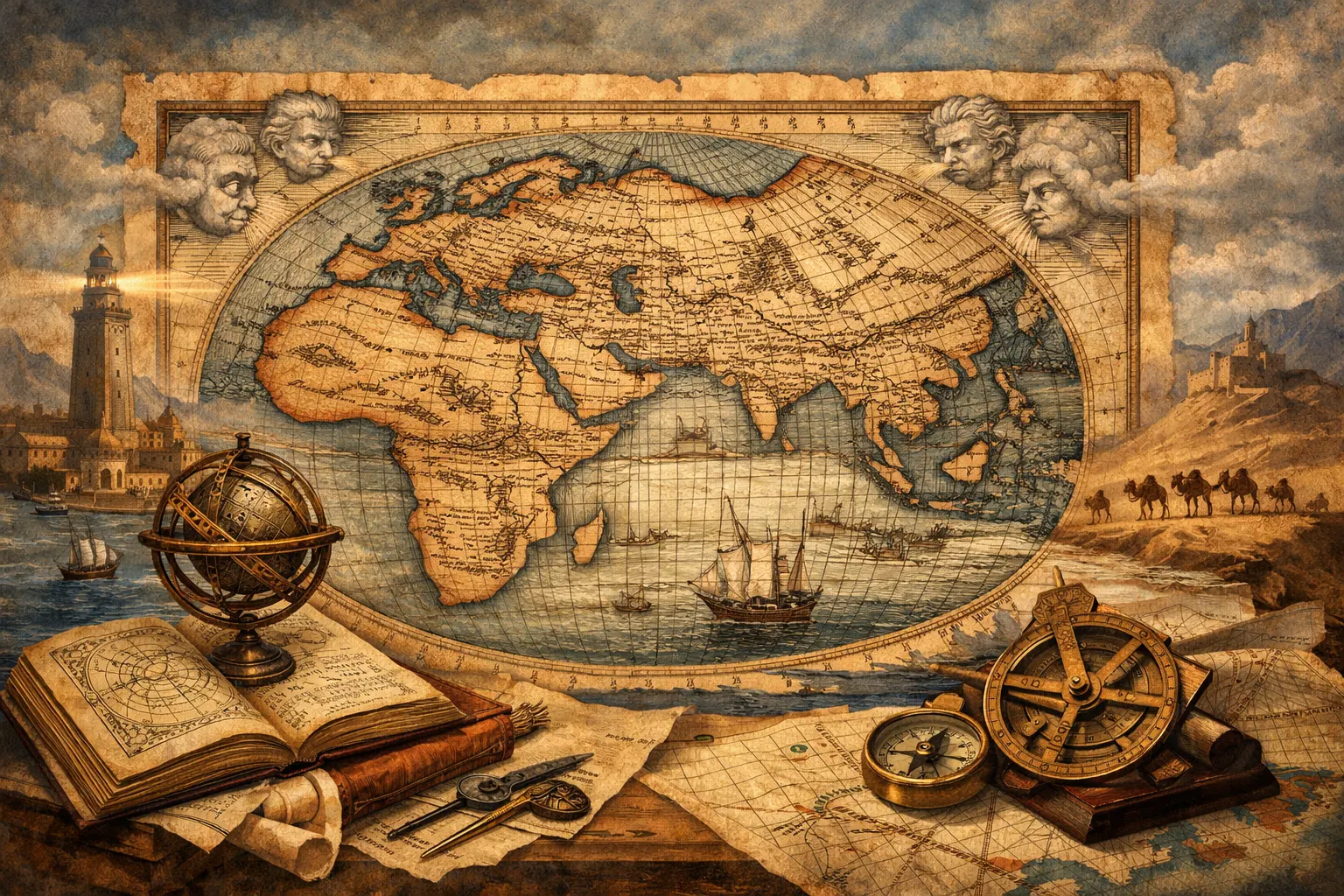
Ptolemy’s book was not a traveler’s diary. It was a system. It explained projections, compiled coordinates, and listed sources; then it showed how to draw the oikoumene—the inhabited world—on a plane. In practice, later scribes and printers produced the maps. That is why editions differ. Woodcut atlases from the 1400s visualized old data with new craft. A famous example is the Ulm 1482 world map, a woodcut with wind-heads framing the sphere; you can view a cataloged copy via the British Museum (Ulm 1482 world map). Discussions tagged “First World Maps Ptolemy” often point to this very print tradition.
From manuscripts to printed atlases
Copyists made slips; printers fixed some and added others. Translators moved between Greek and Latin; editors like Nicolaus Germanus standardized layouts. As observers supplied fresh landfalls, the old grid adapted. That dance between new facts and inherited frames shaped early modern science too. For the shift from authority to observation in the heavens—the other half of Ptolemy’s legacy—see this accessible Galileo Galilei biography. And to watch how mapped expectations met real shores, track the logistics and claims in the Christopher Columbus First Voyage.
Analysis / Implications
Maps as instruments of power
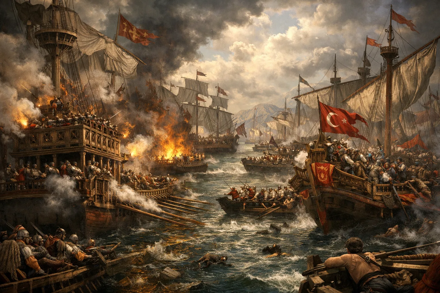
Empires need measurement. Grids turn rumors into routes, and routes into taxes, treaties, and forts. Ptolemy’s coordinate logic gave later states a neutral-sounding language for drawing borders and planning fleets. In North America, the United States used surveys and expeditionary mapping to manage a huge acquisition; the Louisiana Purchase triggered decades of cartography that folded rivers and peoples into policy. In this sense, “First World Maps Ptolemy” functioned like a toolkit: a way to convert place into power.
When errors rule strategy
The system’s prestige hid its flaws. Distorted longitudes squeezed the Atlantic; Asia bulged. These biases mattered. If the ocean seemed narrower, voyages felt feasible, even urgent. If islands wandered on paper, pilots searched where maps insisted they must be. “First World Maps Ptolemy” therefore names a paradox. A map can be wrong in detail yet right in utility, because it organizes action. States learned to treat maps as working models: start with a grid, then update with soundings, stars, and shorelines.
Case Studies and Key Examples
Columbus and the shrunken ocean
Columbus sailed with texts and tables that abbreviated the world. Different mile lengths and optimistic readings made the westward jump look shorter than it was. He reached unknown coasts, then defended the claim with charts and letters. Storms, reefs, and river mouths tested the mismatch between expectation and reality. For a focused narrative of that hard education at sea, see the Christopher Columbus Fourth Voyage. The episode shows how “First World Maps Ptolemy” could set the question even when nature supplied a different answer.
Ulm prints, portolans, and course corrections
Fifteenth-century printers fixed the grid in ink. Meanwhile, mariners used portolan charts built from bearings and distances—coast-wise facts that sometimes contradicted the books. As fleets circumnavigated Africa and the globe, editors folded new outlines into the Ptolemaic frame. Each correction preserved the core idea: a measurable Earth. That is why references to First World Maps Ptolemy persisted in titles and catalogs. The phrase signals continuity. It also marks a moment when Europe could mass-produce knowledge about elsewhere and attach legal force to lines on paper.
Conclusion
Ptolemy provided a grammar for space. Later hands wrote volumes with it. His coordinates let distant courts imagine distant coasts, then act. Traders chased spices; kings claimed capes; surveyors staked rivers. Some choices were enabled by mistakes, others by method. Either way, the grid turned geography into governance. If you want the political texture of his wider Mediterranean world, start with this readable portrait of Cleopatra’s Alexandria. And for the Atlantic hinge that forced mapmakers to revise their frames, revisit the first voyage of Columbus.
In the end, “First World Maps Ptolemy” is not a museum label. It is a reminder that a simple pair of numbers—latitude and longitude—helped empires turn questions into plans. The lesson holds. Treat maps as arguments, update them with evidence, and always ask whose lines become law.